summer just got real
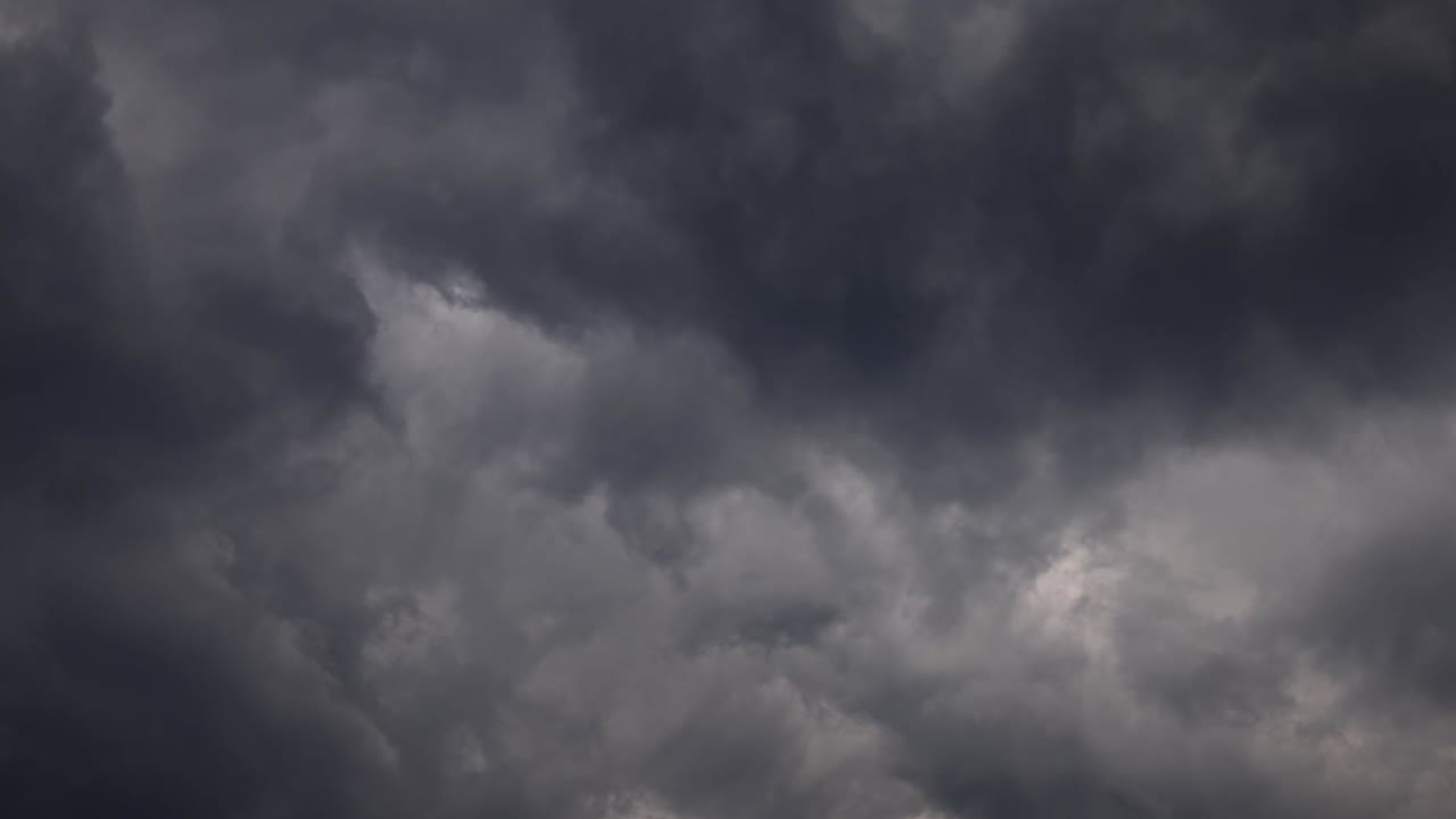
We’ve had it easy so far this summer, but the heat dome has arrived to change that.
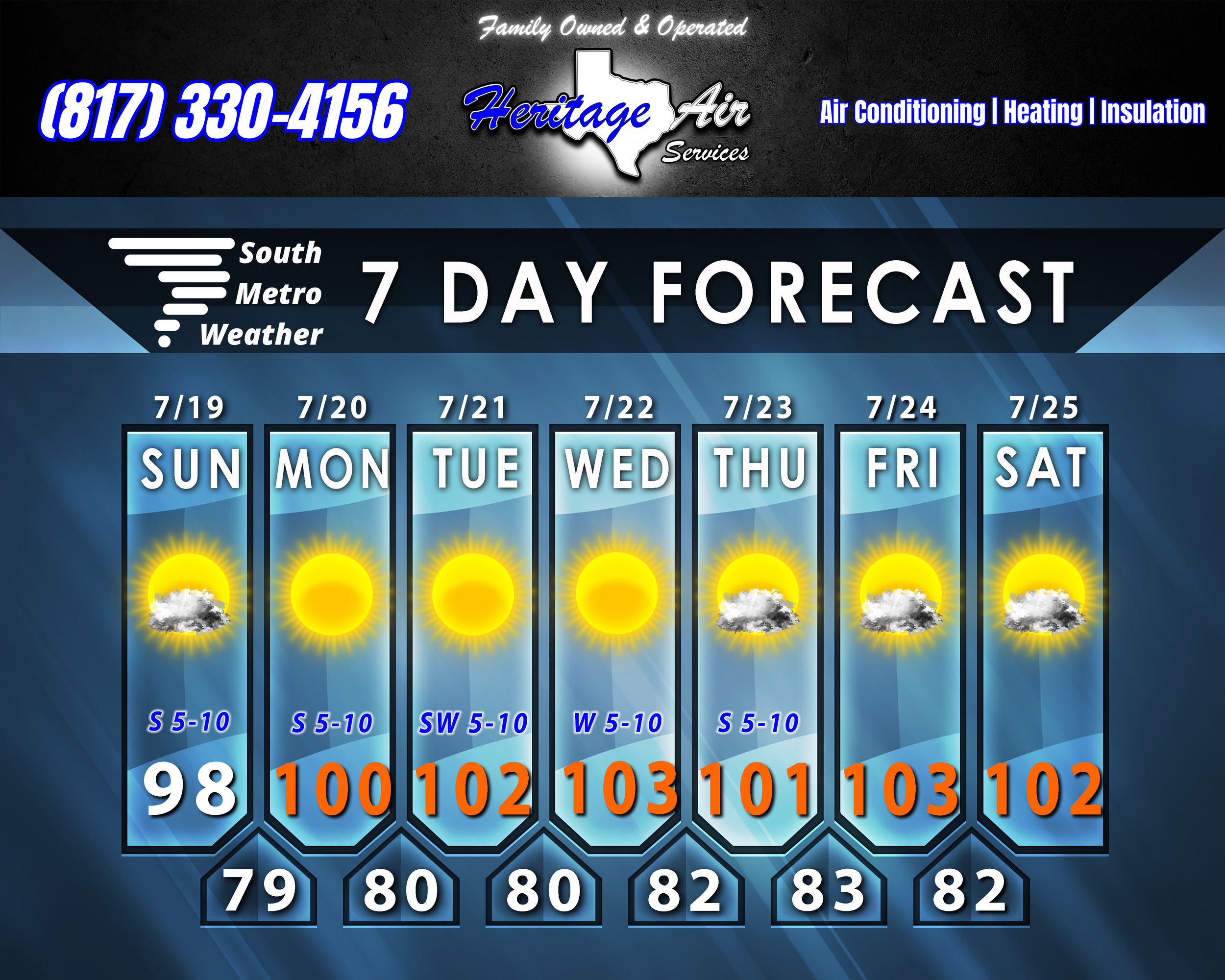
Today we’ll have highs in the upper 90’s with a few clouds, but then tomorrow we reach highs in the triple digits - a trend that will stick around a while. It looks like we’ll be in triple-digit range for the foreseeable future, at least through the middle of next week, possibly through the end of the month. Long-range models still hint modestly at a change in early August…but that’s far from any forecastable outlook. The good news is that the humidity doesn’t look terribly overbearing through this period, dipping some after today. That said, I won’t be surprised if we have Heat Advisories in place as temperatures climb above 100º and dew points are high enough to drive the heat index to 105+º.
There is the matter of AL91, the disturbance churning off the coast of Florida. While it is projected to track westward along the Gulf Coast toward Texas, I’m doubtful of any major impact from this storm. If anything, we may get some clouds toward the end of the week and MAYBE a stray shower or two, but that would probably be about it. For now, I expect minimal impact if any for our area - but you will definitely see a lot of noise about it on social media!